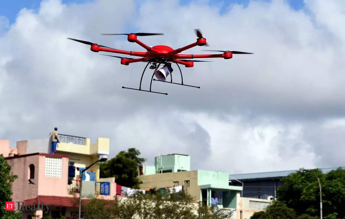
NEW DELHI: The Delhi Development Authority has signed a tripartite MoU with the MCD and the Survey of India (SoI) for drone surveys to combat land encroachments in the national capital, an official statement said on Friday. It will address the problem of uncertainty in the status of land belonging to various government agencies and protect such land from encroachers and prohibit unauthorised constructions in the future.
In the penultimate meeting this month, Lieutenant Governor VK Saxena was shown the results of a trial run conducted over an area of 50 square kilometres. The results were encouraging, with high-resolution images being mapped clearly by the drones, it said.
Saxena had then directed that all senior officers have access to such precise imagery on their monitors in office. This, the L-G had underlined will enable officers to visualise every drain, road, encroachment and even garbage on the ground and accordingly implement and monitor remedial measures, the statement said.
The drone survey will provide immense advantages such as high level of data accuracy and high resolution images obtained through drones flying over identified areas. It would help in exact boundary demarcation of structures and ensure that ground-truthing of khasra layers is done more precisely, it stated.
The aerial imagery thus obtained will have diverse uses that include easy identification, mapping and monitoring of encroachments. Data elevation models will be used to identify vertical encroachments. It will help in getting real-time data on encroachments, thereby prompting authorities to act against encroachments in the nascent stage itself, the statement said.
The MoU aims to generate geospatial data by survey and mapping activities which will act as a base for integration of data of the DDA, MCD and various other departments in Delhi to maximise resource utilisation and ensure comprehensive coverage of all areas under their respective jurisdictions, it said.
The scope of the work in the MoU includes data acquisition, creation of topographic template, resurvey for plot boundary/property for updation and collection of ownership data, storage and management of data acquired/generated, and training of officials.
With the signing of this MoU, it is expected that both the DDA and the MCD will be able to better identify encroachments, unauthorised constructions, and change detection in their respective jurisdictions which will enable timely decision making and result in prompt and swift action, thereby helping in the planned development of Delhi as per the MPD, it added.
Source Homevior.in


